A GPS receiver works by measuring the time that it takes for a signal to reach the receiver from multiple satellites orbiting the earth. By knowing the time for the signal from each of the satellites to reach the receiver, the distance to each satellite (the position of these satellites are very accurately known) can be computed and by using trigonometry your position on the surface of the earth can be determined in 3D, latitude, longitude and elevation. The more satellites that the receiver can detect the more accurate your position, most GPS units will be accurate to 30 feet or less. The accuracy of the GPS is dependent on the number of satellites and number of digits of accuracy that the unit can receive. Some of the units can also detect ground stations that have a position that is known to a high degree of accuracy and can further reduce the position error. A GPS is only a receiver unless it contains a cell or satellite phone, many trucking companies utilize GPS technology and a satellite phone to determine the position of their trucks at all time. Therefore, the home office can locate every vehicle at any moment. A determination of the speed of an object can also be calculated, since the GPS is determining the position at regular interval of time, the accuracy of the speed determination can be as good as your speedometer.
If you looked at purchasing a GPS unit you know there is a whole range of devices and prices. The simplest type of GPS is the ones contained in many cell phones today (all new cell phones have a GPS), usually to utilize the GPS you must pay for a service. If you want to purchase a GPS unit there is a complete range of prices and abilities and I will try to describe some of the different types of GPS units. A completely standalone unit can be purchased and will vary in cost from a few hundred dollars to several thousand dollars depending on the abilities of the instrument. If you want a device to provide only the longitude and the latitude of your position they are relatively inexpensive. The next step-up is those GPS units that provide monochromatic maps of the region on the display. The more advanced system offer more detailed color maps. Some of these units can be connected to a computer so that you can download data and others the data must be manually recalled if you wish to plot it on a computer map. The second type of GPS utilizes as PDA like a Palm Pilot or a Dell Axiom. Maps can be loaded into PDA from a computer and can either be directly connected to the GPS via cable, PCMCIA Card, Compact Flash Slot or by Bluetooth wireless. These units are small and more expense than the low end standalone GPS, but much more flexible since they can be connected directly to a computer and maps can be upgraded as changes occur. They also retain the function of the PDA. The third method is to use a GPS either directly connected to your laptop computer by a USB cable or wireless connection. These devices are the most flexible and provide the most power to the user, but also the most expensive unless you are already have the laptop computer. Of course we also have GPS units in some cars.
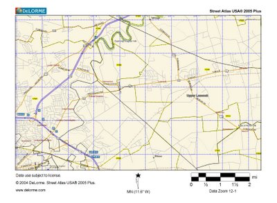
With most all GPS units you have the ability to store a position and name the position that is stored, like Pierce Mill Dam. These positions are called waypoints. The position of the mill, the dam, the race can all be stored within the accuracy of the device (30 feet or less) as was discussed above. This geocoding of the position of dams can than be placed into a GIS (geographical information system) system and stored on maps that can be displayed over the internet, with roads and other major features labeled.
So instead of missing that mill that was just around the corner in the overgrown field we can find the location every time if someone provides the accurate latitude and longitude of the mill. In most GPS you can put in the position that you want to locate and it will direct you either by displaying directions and distances away from the point, or on more expensive systems it will display the roads and directions of each turn to reach the site and the upper end systems will map it for you displaying your current position, your end point, display the roads, giving directions, even speak to you when you need to turn and if you get off the road it will reroute you. Of course every once in a while the computer map is not correct, most of these maps were developed from either aircraft imagery or satellite data. I was recently searching for a mill in the Catskills in New York state and the road in which the computer told me to take to reach the mill that I had (from looking at a website) did not reach the mill, about half way up a mountain the road became a dirt path, so every once in a while technology can fail you.
For the last several years I have been geocoding the mills sites that I have visited and will be in the near future placing them on an interactive website for others to use. If anyone would like to send me the locations of mills I will be happy to add them to my data. I can be reached at vince.dinoto@kctcs.edu.
No comments:
Post a Comment